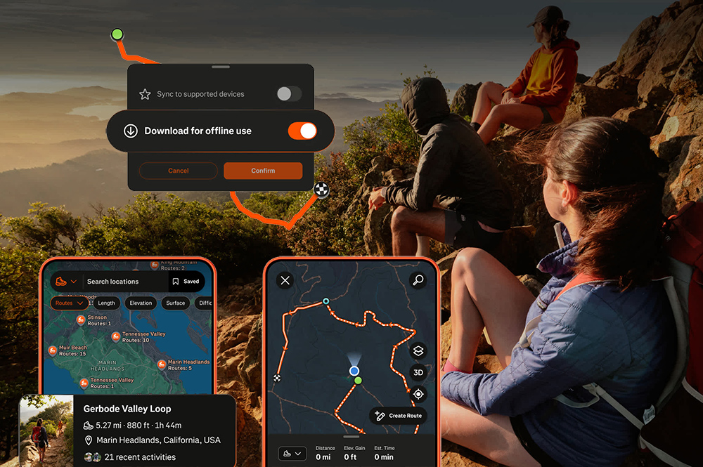
Strava revealed on Thursday that its trail offering will get a noticeable overhaul that is designed to bring enchanted route planning, navigation and social sharing to the off-road crowd.
All users, regardless of whether they are paid subscribers, will get access to live elevation, sticker stats, 3D activity maps in the activity feed and a fullscreen recording map.
Meanwhile, paid users get a deeper integration of features that include saved routes, offline route downloading, off-route alerts, route builder with live distance along with elevation and surface feedback, activity replays and 3D recaps once the activity is completed.
Strava said that hiking continues to explode in popularity on the platform. In its 2025 Year In Sport user recap in December, the company noted that it saw a nearly sixfold increase in hiking clubs.
Inside of maps, trail surface data will be richer and points of interest that hikers prioritizes like trailheads, picnic areas and campgrounds are now clearer, while it discovering routes is significantly easier. Using Strava’s global heatmap, heading to any location will reveal in detail if that route has previously seen activity.
The route builder uses trail-specific map styles to ensure that proper distance, elevation and surface conditions are accurate and that an activity is capable of being completed. Those routes can the be saved and deployed among different kinds of in-app areas like the activity detail option, route detail option and route builder.
Navigation sees an alert feature that will tell users when they stray from a planned route, while Apple Watch wearer can get guidance from their wrist and without their phones.
The offline route feature means that in areas with poor signal connectivity, the route guidance still remains active. And while on the hike, a single tap can show a greater view of where they are headed in real time. During the workout a large on-screen live elevation profile is a reliable reminder of terrain changes.
All of the data from the planned routes can easily be pushed to Garmin, Apple Watch and Coros devices ahead of the hike so there are no unforeseen issues heading into the activity.
Many of the features are available now via an app update and map improvements will show up later this summer.